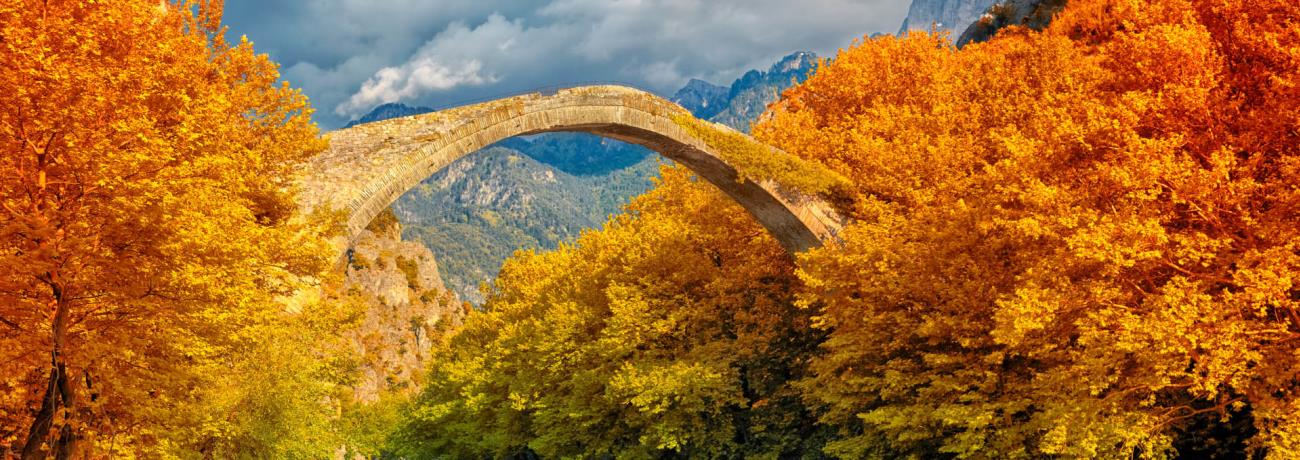
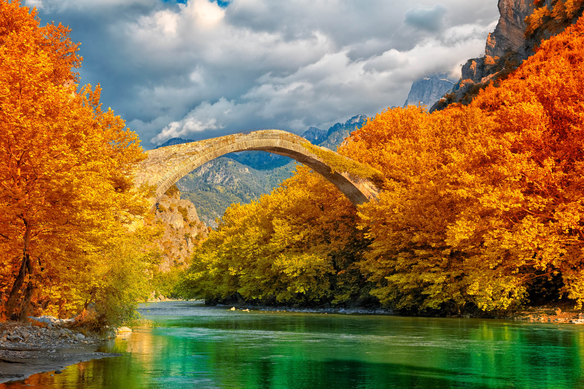
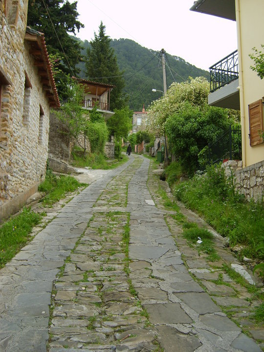
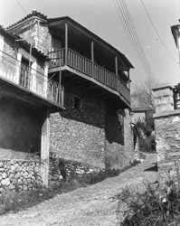
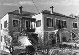
The town of Konitsa spreads at the hill of Trapezitsa mountain and
lies at the the height of 600m approximately. As far as the bottom of the hill
of Konitsa is extended the plain of Konitsa and Klidonia.
This plain is the meeting point of three rivers: Sarantaporos,
Aoos and Voidomatis.
The area is bordered by the mass volumes of the mountains Grammos
on the north, Smolikas on
the east, Gamila on the south
and Camenic and Nemertzika on the west.
The morphology of the ground as well as the hydrography of the area
form four natural ranges: a. the valley of Sarantaporos
(on the north), b. the valley of Aoos
(on the east), c. the basin of Konitsa (on the south), d. the alpine zone.
Regarding the origin of the name of Konitsa, there are various assumptions.
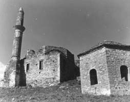
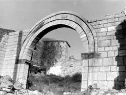
According to the tradition, the town of Konitsa is built on the ancient Konissos.
The historian from Epirus, P. Aravantinos, assumes that the name of the area comes
from the name of the ancient town Knossos that was gradually developed into Konitsa.
Also, the traveler Poukevil considers that this name comes from the slavic name,
Konitza, which means horses place. According to another legend, the nobleman Koni
had built a castle whose ruins lie above the chapel of St.Varvara. So, the town
might have taken its name by this nobleman.