The old national highway that linked Argos
with the city of Tripoli is
one of the most well known roads in Greece.
It used to be a road of communication with central Peloponnese
known then as Kolosourtis. From Kolosourtis (the road) visitors have the opportunity
to admire the wonderful view of the Argolic
gulf and Nauplia.
Kolosourtis used to be the largest road guillotine. It used to be
narrow and slippery, with curves of 180 degrees next to a precipice. Hundreds
of accidents revealed its dangerousness.
However, today things are different. The new national highway that
links Corinth with Tripoli
has made Kolosourtis less busy. Although traffic is not frequent, the road has
been reconstructed. It is now wider with less curves and non-slippery surface.
Before reaching Achladokampos and on the right side of the road, there
is a 4km road that leads to Nera. There are many springs and plane trees in Nera,
as well as an old Byzantine chapel rebuilt by the emigrants. This is where the
great feast of Achladokampos takes place.
(text: Alexis Totsikas)
This text (extract) is cited March 2004 from the Prefecture
of Argolis tourist pamphlet.
Map & Distances
Longitude:
22o 35' 05.35" E
Latitude:
37o 31' 52.68" N
Hotels, local businesses, destinations & directions
If you want to find additional information on the greater and/or surrounding areas select one of the titles below and click "more"
We could't find news articles relevant to this location/area.
Latest Travel & Tourism News from GTP Headlines
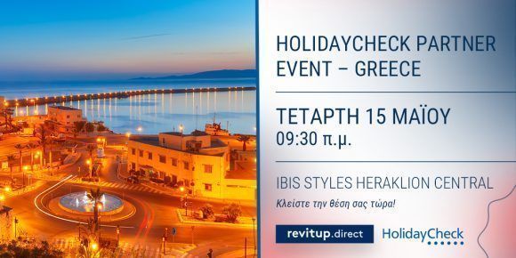
Η RevitUp.direct συμμετέχει στην εκδήλωση της HolidayCheck στην Κρήτη ως αποκλειστικός συνεργάτης στην Ελλάδα
Η εκδήλωση της HolidayCheck στην Κρήτη έχει στόχο να υποστηρίξει τα ξενοδοχεία να τοποθετηθούν στη γερμανόφωνη ταξιδιωτική αγορά με επαληθευμένες στρατηγικές....
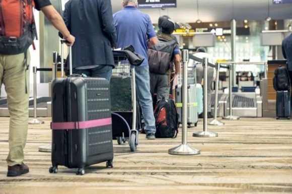
IATA: Hassle-free Air Travel Crucial as Demand Increases
Airports should be ready to accommodate the increasing demand for air travel as positive data for March sets the stage for the upcoming season, says IATA....