| Υψόμετρο | 170 μέτρα |
| Γ. Μήκος | 24o 57' 35.84" E |
| Γ. Πλάτος | 35o 21' 37.59" N |

| Χαρακτηρισμός τόπου | Οικισμός |
| Ταχ. Κωδικός | 71500 |
| Έτος | Πληθυσμός |
|---|---|
| 1991 | 1 |
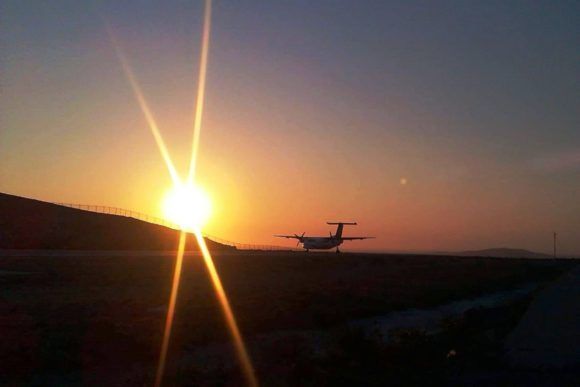
Greece is investing over 313 million euros to modernize air traffic control and complete infrastructure at Crete’s new Kastelli airport, strengthening aviation safety and operations....
Fri, 16 May 2025
Read more...
Greece and France have signed a strategic agreement to enhance cultural heritage preservation, diplomacy, and economic collaboration within their broader alliance....
Fri, 16 May 2025
Read more...
Western Greece demonstrates strong tourism growth in 2024, driven by strategic investments and coordinated regional development, boosting local economies and visitor numbers....
Fri, 16 May 2025
Read more...
The Region of Peloponnese has a bold regional development plan focused on sustainable infrastructure, climate action, and investment-driven growth....
Fri, 16 May 2025
Read more...
Υπεγράφη η νέα Συλλογική Σύμβαση Εργασίας για τους Όρους Αμοιβής και Εργασίας των ηλεκτρολόγων στα ξενοδοχεία....
Fri, 16 May 2025
Read more...
Nearly 800 Erasmus students from across 50 countries gather in Crete for a four-day cultural celebration, highlighting youth unity, European values, and regional heritage....
Fri, 16 May 2025
Read more...
Λάβετε το καθημερινό newsletter με τα πιο σημαντικά νέα της τουριστικής βιομηχανίας.
Εγγραφείτε τώρα!


