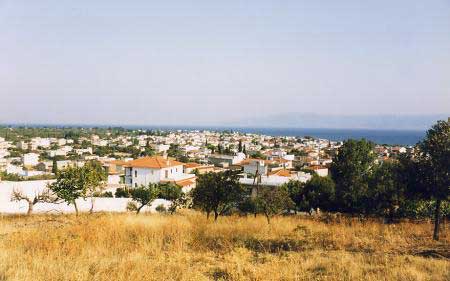
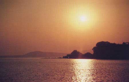
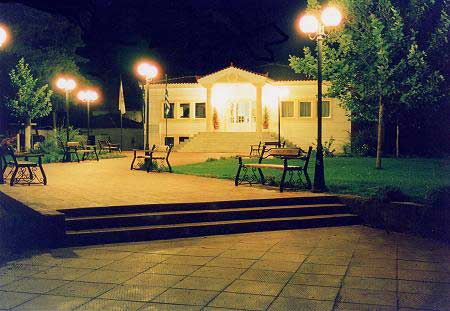
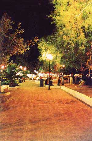
Photo gallery
Displaying 10 out of 19 total photos found for CHALKIDA.
Map & Distances
The town hall located in:
It was named after:
Borders:
North (N) with:
KYMI
Municipality,
EVIA
,
GREECE
Northeast (NE) with:
KONISTRES
Municipality,
KARYSTIA
,
GREECE
East (E) with:
TAMINES
Municipality,
KARYSTIA
,
GREECE
West (W) with:
ERETRIA
Municipality,
CHALKIDA
,
GREECE
Northwest (NW) with:
DIRFYS
Municipality,
EVIA
,
GREECE
Is washed (by):
| Longitude: |
23o 54' 31.77" E |
| Latitude: |
38o 28' 11.55" N |
Hotels, local businesses, destinations & directions

11
Related Destinations
View

8
Hotels & Accommodation
View

21
Businesses & organizations
View all

Domestic sea schedules
Local information
| Type of location: |
Ancient name |
Residents
| Year |
Population |
| 1991 |
6860 |
References & Citations
Choose one from the list below or click here to see them all (4)

If you want to find additional information on the greater and/or surrounding areas select one of the titles below and click "more"