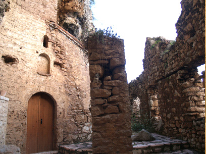
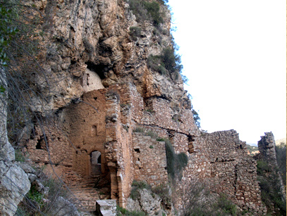
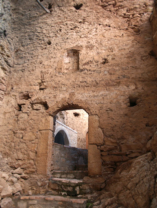
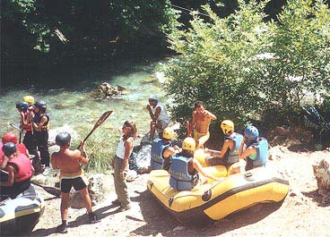
Photo gallery
Displaying 10 out of 28 total photos found for KARYTENA.
Map & Distances
Distances:
Located in the same area of:
Ancient sites within Municipal's District:
| Altitude: |
482 meters |
| Longitude: |
22o 02' 29.69" E |
| Latitude: |
37o 29' 03.04" N |
Hotels, local businesses, destinations & directions

26
Related Destinations
View

1
Hotels & Accommodation
View

6
Businesses & organizations
View all

Domestic sea schedules
Local information
| Type of location: |
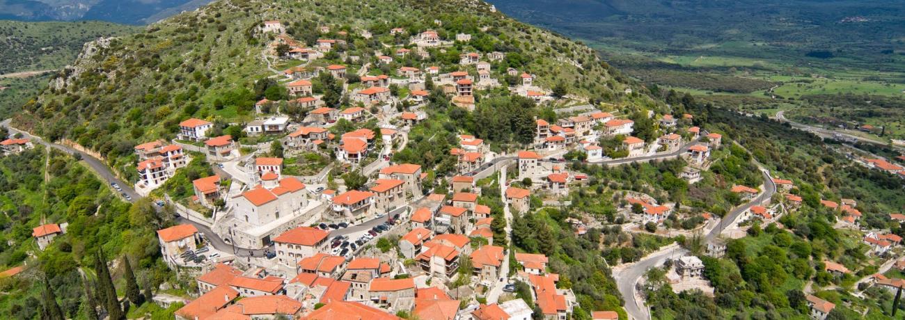
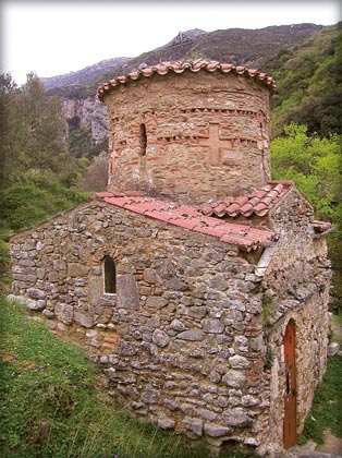
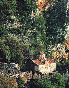
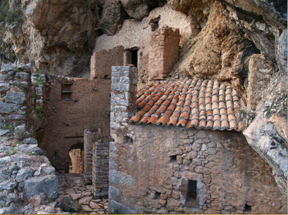
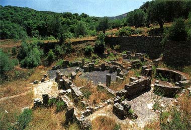
Listed traditional settlement, Monastery, Town hall, Towers, Municipal district, Bridge, Byzantine castle/fortress |
| Other Names: |
KARITENA (Alternative), SKORTA (Frankish domination name), KARYTAINA (Bibliography) |
| Postal Code: |
22022 |
Residents
| Year |
Population |
| 1991 |
248 |
| 1981 |
304 |
References & Citations
Choose one from the list below or click here to see them all (12)

If you want to find additional information on the greater and/or surrounding areas select one of the titles below and click "more"