| Υψόμετρο | 298 μέτρα |
| Γ. Μήκος | 22o 12' 16.07" E |
| Γ. Πλάτος | 36o 56' 16.71" N |

| Χαρακτηρισμός τόπου | Εδρα δήμου, Αρχαιολογικός χώρος |
| Αλλες ονομασίες | ΖΑΡΝΑΤΑ (Προηγούμενη), ΚΑΜΠΟΣ ΑΒΙΑΣ (Γνωστή) |
| Ταχ. Κωδικός | 24016 |
| Έτος | Πληθυσμός |
|---|---|
| 1991 | 537 |
| 1981 | 536 |

Greek tourism hit record employment in 2024, but labor shortages and financial strain continue to challenge the sector’s sustainability....
Wed, 14 May 2025
Read more...
Fraport Greece reports 4.9% growth in April 2025, with 3.91 million passengers handled across 14 regional airports in the first four months....
Wed, 14 May 2025
Read more...
IATA launches a 10-year Global Baggage Roadmap to improve efficiency, cut costs, and deliver real-time tracking through automation and data upgrades....
Wed, 14 May 2025
Read more...
Greece’s tourism minister says high-prestige events like the Aegean 600 are key to boosting the country’s image as a leading maritime destination....
Wed, 14 May 2025
Read more...
As scheduled, 65 kilometers of the Patras–Pyrgos motorway will be completed by July 31, with full project delivery expected by November 2025....
Wed, 14 May 2025
Read more...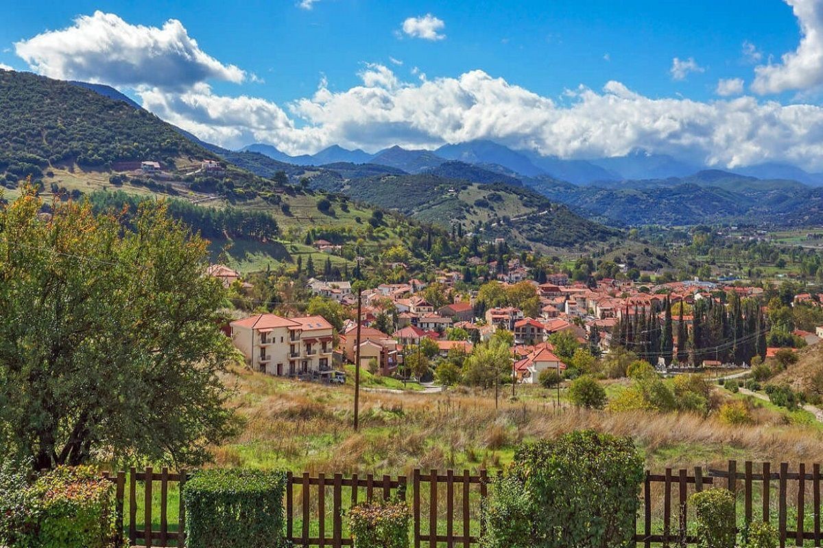
The GNTO’s 2030 agenda spotlights Western Greece as a model destination for sustainable and year-round tourism development....
Wed, 14 May 2025
Read more...
Λάβετε το καθημερινό newsletter με τα πιο σημαντικά νέα της τουριστικής βιομηχανίας.
Εγγραφείτε τώρα!


