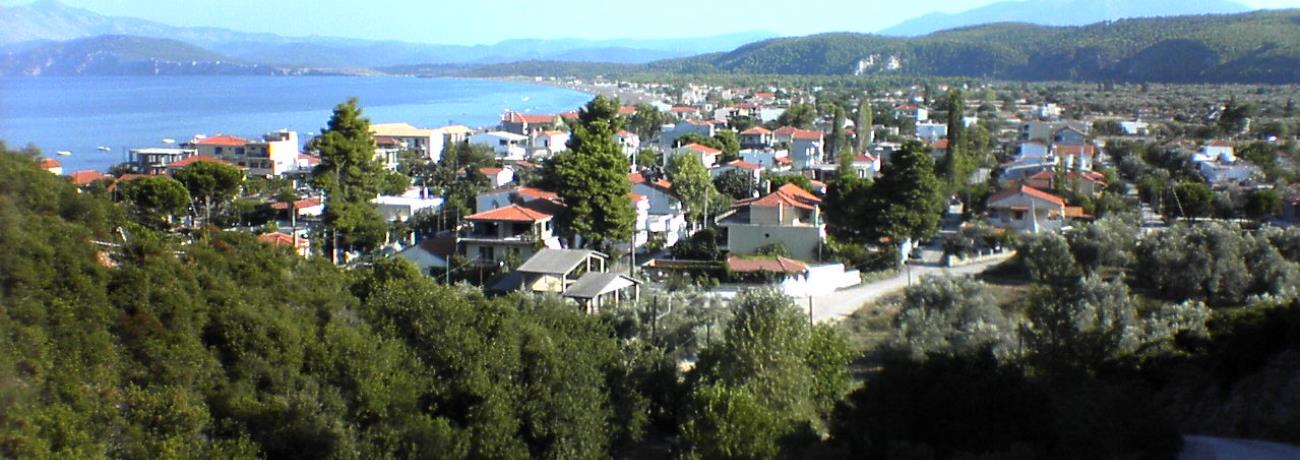
![Main Photo]()
Map & Distances
Distances:
74.0 Kilometers South-southeast (SSE) the capital of the island
CHALKIDA
Town,
EVIA
,
GREECE
165.5 Kilometers East-southeast (ESE) the municipality seat
KYMI
Port,
EVIA
,
GREECE
171.8 Kilometers South-southeast (SSE) from the port:
NEA STYRA
Port,
EVIA
,
GREECE
193.6 Kilometers South-southeast (SSE) the municipality seat
MARMARI
Village,
EVIA
,
GREECE
200.0 Kilometers Southeast (SE) the provincial capital
KARYSTOS
Town,
EVIA
,
GREECE
54.0 Kilometers West-northwest (WNW) the municipality seat
EDIPSOS
Port,
EVIA
,
GREECE
55.5 Kilometers Northwest (NW) the provincial capital
ISTIEA
Small town,
EVIA
,
GREECE
13.5 Kilometers Southeast (SE) the municipality seat
MANDOUDI
Small town,
EVIA
,
GREECE
25.0 Kilometers South-Southwest (SSW) the municipality seat
LIMNI
Small town,
EVIA
,
GREECE
66.0 Kilometers South-southeast (SSE) the municipality seat
NEA ARTAKI
Town,
CHALKIDA
,
GREECE
| Altitude: |
243 meters |
| Longitude: |
23o 23' 58.35" E |
| Latitude: |
38o 51' 34.11" N |
Hotels, local businesses, destinations & directions

13
Related Destinations
View

10
Hotels & Accommodation
View

21
Businesses & organizations
View all

Domestic sea schedules
Local information
| Type of location: |
Beaches under Ministry of Environment Inspection, Town hall |
| Postal Code: |
34010 |
Residents
| Year |
Population |
| 1991 |
1079 |
| 1981 |
1403 |
References & Citations
Choose one from the list below or click here to see them all (3)

If you want to find additional information on the greater and/or surrounding areas select one of the titles below and click "more"